Do you have a question about this application? Ask our specialists
Contact us
Features & Benefits
Features
- As we try to characterize the condition of tens of tons of soil during sampling with 1 kg of soil samples, it is important that the samples represent the root zone of the area well, so they come from a constant depth and as many places as possible.
- With 15 to 20 drillings, the given part of the field/section is presented, eliminating errors resulting from the small number of samples.
- The maximum sampling depth on our equipment is 60 cm.
Benefits
- Mapping reaches up to 1,200 hectares per day.
- Fast delivery, expert advice, and reasonable fertilization advice.
- We create a demonstration map of the soil properties of the patterned area.
Dedicated solutions for your specific needs
What does Professional Soil Service include?
- Sampling with advanced technology and precise planning of each sample – DGPS.
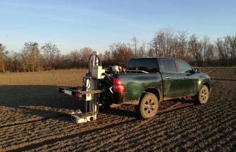
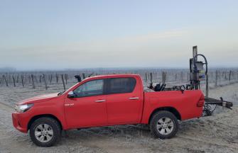
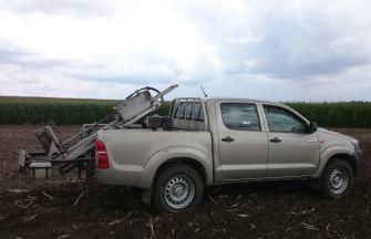
- Automatic sampling, with each sample consisting of an average of 15-20 drilling points.
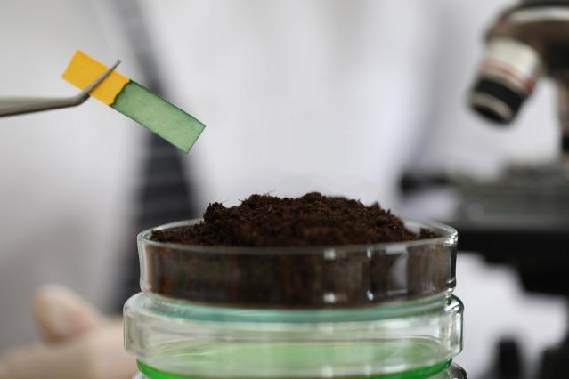
- Analysis and interpretation of soil Ph, Ah, Plasticity, N, P, K, Humus, S, Zn, Mg, Mn, CaCO3, Na and other parameters.
- Representation of the current state of soil fertility on maps.
- Proposing the optimal economic norms for soil fertilization.
- Development of the soil fertilization plan.
- We also undertake the realisation of individual requirements (e.g. 3-hectare soil sampling, analysis of other elements, saturation conditions, bulk density, hydrolytic acidity).
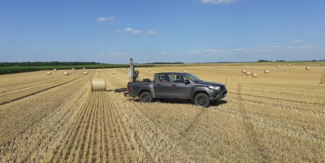
The professional AgroForce equipment guarantees precise automated sampling of soil samples, at the shortest possible interval from request! It produces a demonstrative map of soil properties, delivering results as quickly and timely as possible and offers professional expert advice.
How does the whole process look like?
In the course of our work, we first perform a GPS survey of the field/area. After learning about the conditions of the field in detail, we will prepare a soil sampling plan on-site with the help of our GIS program.
Navigation and field surveys on the designated sampling routes are performed with a GPS navigation unit mounted on the samplers, with the help of which the sampling units selected on the basis of the on-site surveys can be visited with an accuracy of a few meters. The given sampling results can be used for 3-4 years, so inaccurate results can affect the efficiency of so many years. For the next sampling, we can follow the same route, so we can check and observe the changes within the board.
The data is also recorded in our GIS database, so we can per¬form the next sampling from the same places later. This gives an extremely accurate picture of the changes in the nutrient supply of the area. We also perform special sampling tasks (e.g., early spring N-min or S-min testing).
Samples are delivered to an accredited laboratory as soon as possible. From there, the soil test results come back to us. Based on the results and the sowing plan data provided by the farmer, we prepare a nutrient replenishment proposal that meets the needs of the planned crop yield.

